| Your browser is not supported. | ||
|
Please browse our site using any of the following options:
| ||
Digital Preparation For The Natural World - The Apps & Websites To Better Prepare You For Adventure

Planning for an outdoor adventure can be exciting and overwhelming at the same time, but it's a critical step in order to have an event-free time, to stay safe and to feel fulfilled in your adventure. Here's a few of my go-to apps and websites to help plan, research and organise what I'm doing, where I'm going and most importantly, if the weather is going to cooperate with my plans.
Windy
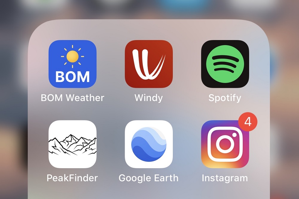
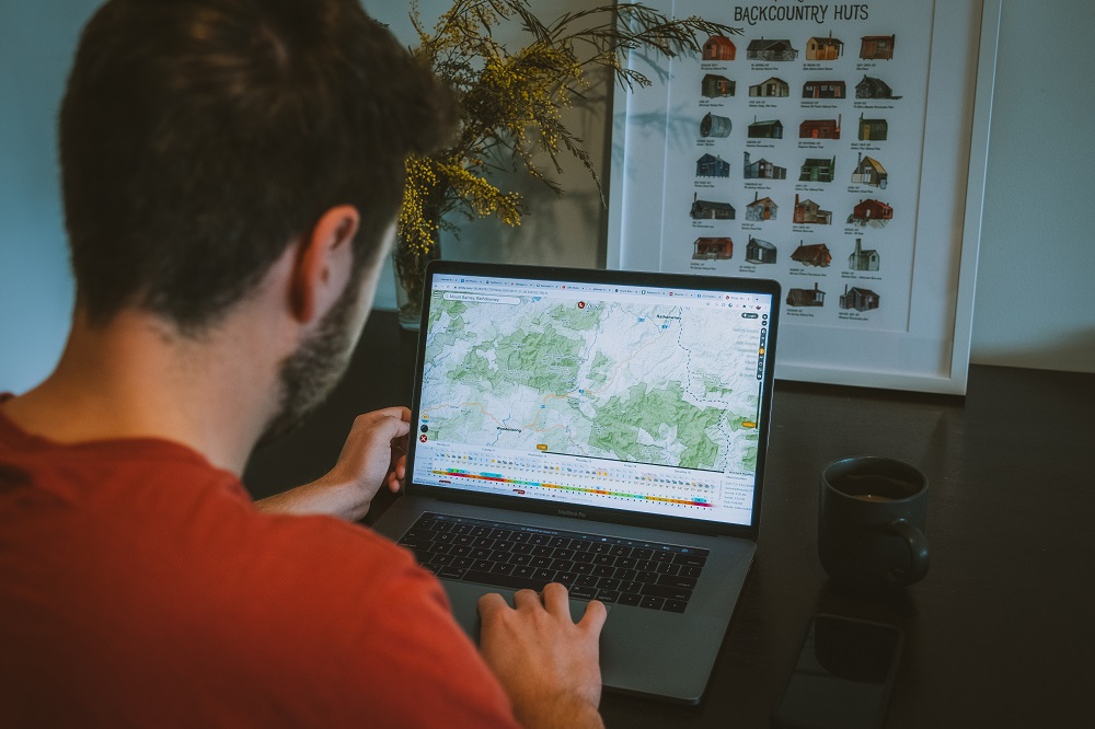
For an all-in-one weather app with real time and future information from temperatures at changing elevations, wind gusts, and cloud cover (upper and lower cloud), to snow and rain accumulation and so much more. You can scroll your way through a map view of the earth and pinpoint a single spot, getting a detailed description of any and all weather you can dream of. I've found Windy to be 8/10 accurate, with only sometimes failing to deliver on forecasted cloud cover. Apart from this, Windy is by far my favourite weather app and I find myself on it a few times a day. https://www.windy.com
mountain-forecast.com
For a far less detailed but easier to decipher weather forecast website, I opt to use mountain-forecast.com. This is to mainly check in on weather around certain mountain peaks. https://www.mountain-forecast.com
One of the most powerful tools is Instagram. This is where I find the bulk of my inspirational content, including locations, angles and people to shoot with. It's a great community and if you know how to use hashtags and locations right, then you can find some really wild places that not many people have been to. https://www.instagram.com
Google Images
Google Images is perhaps the best way to find photo locations. Countless times I've come across new places I've never seen, even in familiar places. For instance. if I type in 'Mount Barney', a multitude of hikes, photo angles and hidden gems pop up. Most of the time these images will be linked to people's blogs where you can find location info and more about the places. Try keywords for whatever you're searching for, like 'Mount Barney Sunset' or 'Hiking Mount Barney'. I have no doubt that you'll find incredible places using this method. https://www.google.com/imghp


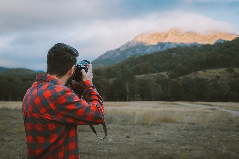
For Harrison, the adventure of an outdoor shoot starts with his research and preparation, which he says ultimately leads to better photographs.
Google Maps & Earth Pro
You honestly can't get anywhere without these two. For me, they both serve different purposes, with Google Maps being my all-in-one navigation app. It helps me leave my house and get to trailheads, petrol stations and remote national parks, and it can even give you the best biking and walking routes. On the other hand, for a desktop app, I would say that Google Earth Pro is my go-to photo scouting software. The entire planet is in 3D, meaning you can hover over remote wilderness, plan shots and find the best angles. https://www.google.com.au/maps
Spotify
I can't leave the house without having downloaded some tunes or podcasts for the trail. With most trails out of phone service, you can't always count on streaming your music, so downloading is the way to go when going out bush. I normally put on a podcast on the hike out. https://www.spotify.com/au
PeakFinder
I only came across this app in New Zealand after my good mate @kylekotajarvi told me there was a way to see when exactly the sun would rise and set over the exact mountains we were looking at. He whipped out his iPhone, opened PeakFinder's AR technology, and instantly it placed us in a real time view of the mountains around us. You can move around and the view will follow your movements. I use this app all the time to especially check the sun's movements. As the name suggests, the app also tells you the names of the peaks! https://www.peakfinder.org
BOM Weather
To stay informed on local weather, I look no further than the BOM app for Aussie weather forecasting. I usually use the BOM when doing close to home activities and to monitor the rain radar. When I'm out on a bike ride, or a hike in the Glasshouse Mountains, it's great to be able to check if any storms are coming, a common occurrence here in SEQ. http://www.bom.gov.au
Photo Credits
All images supplied by Harrison Candlin
- Instagram @harrisoncandlin
- Website https://www.harrisoncandlin.com